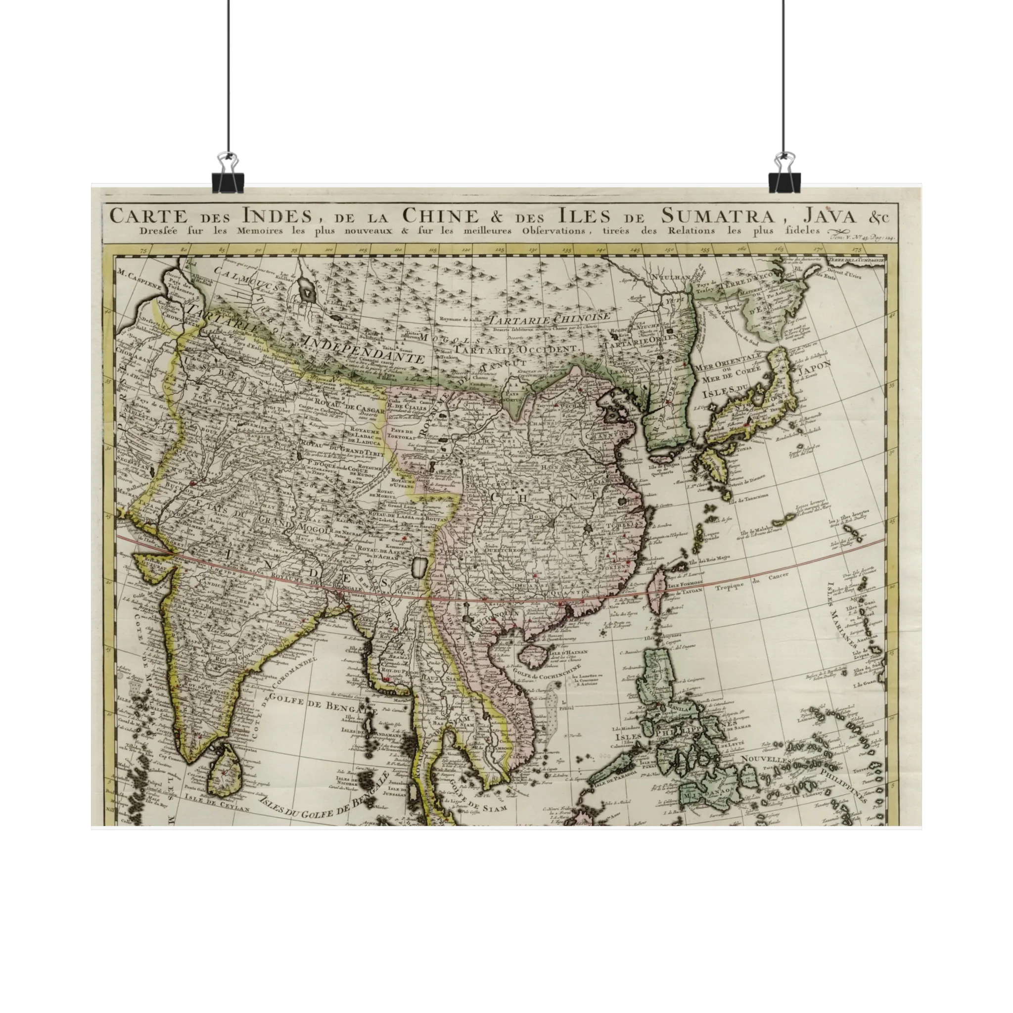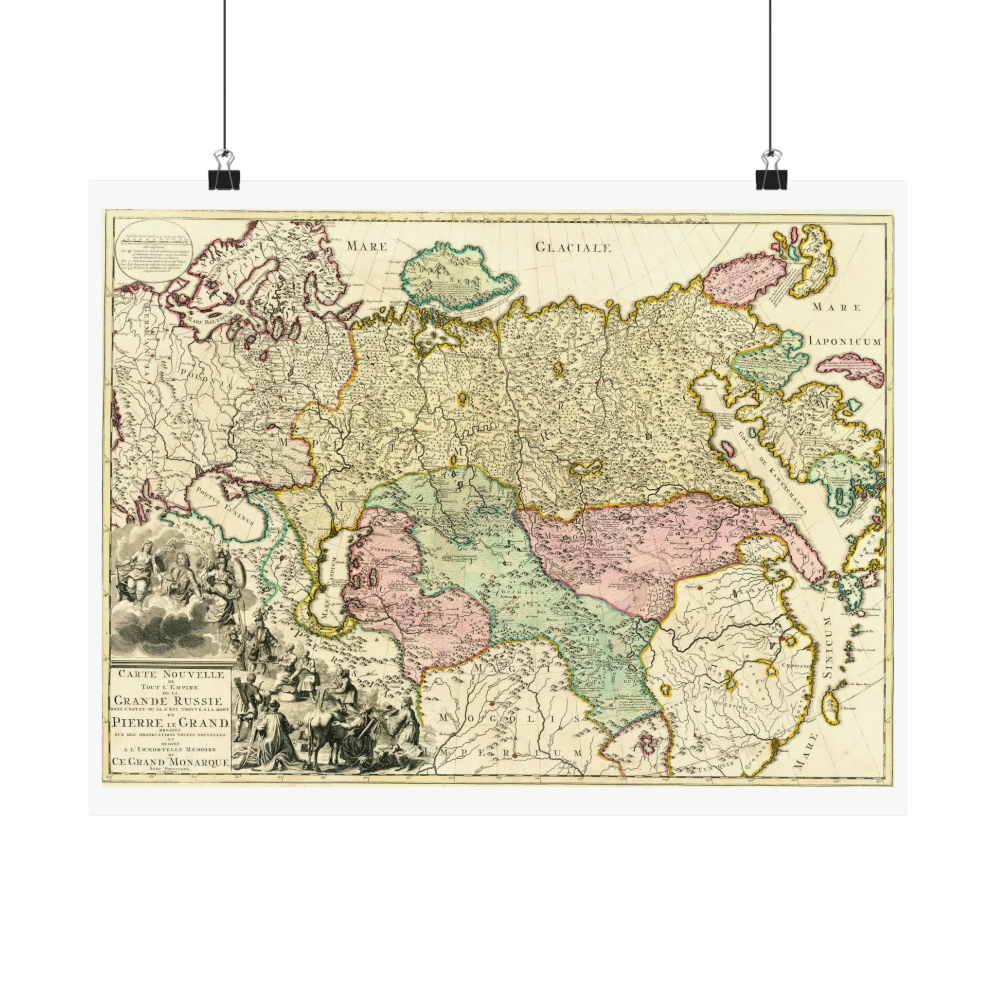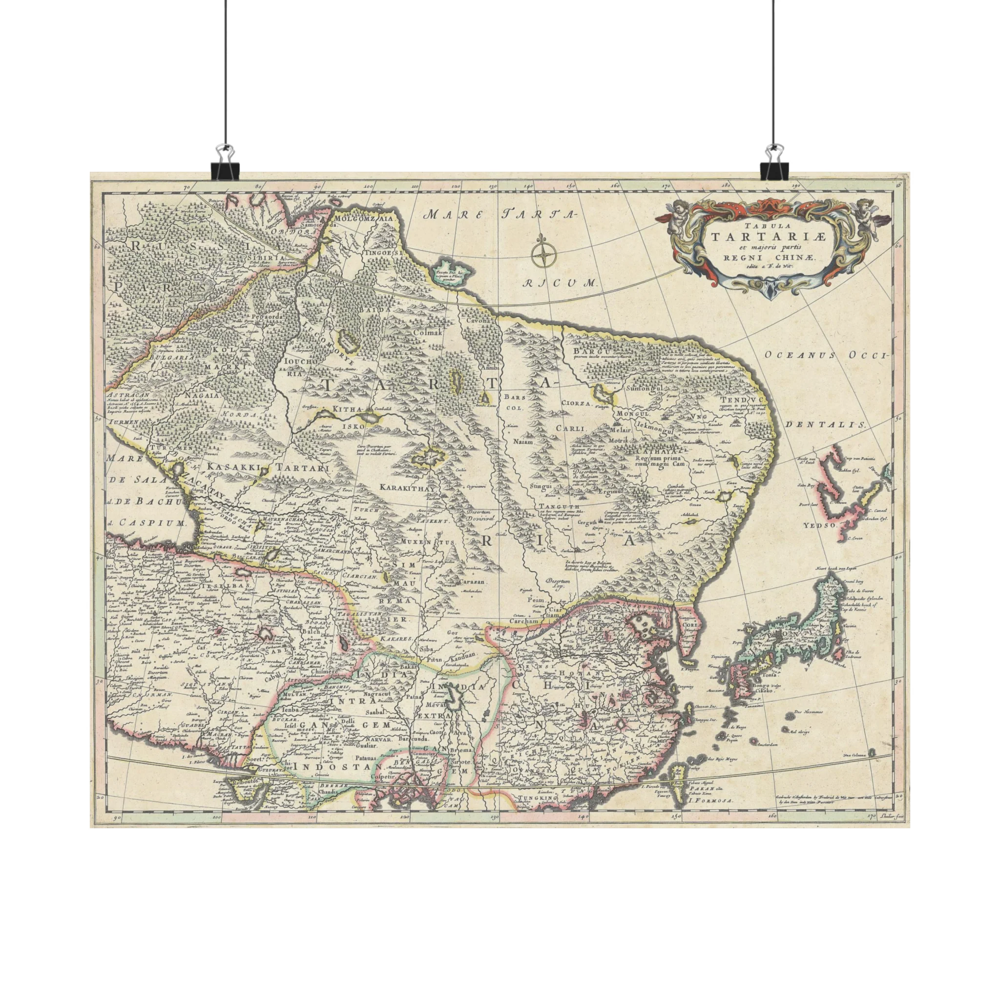
Tartaria and the Greater Part of the Kingdom of China, 1680
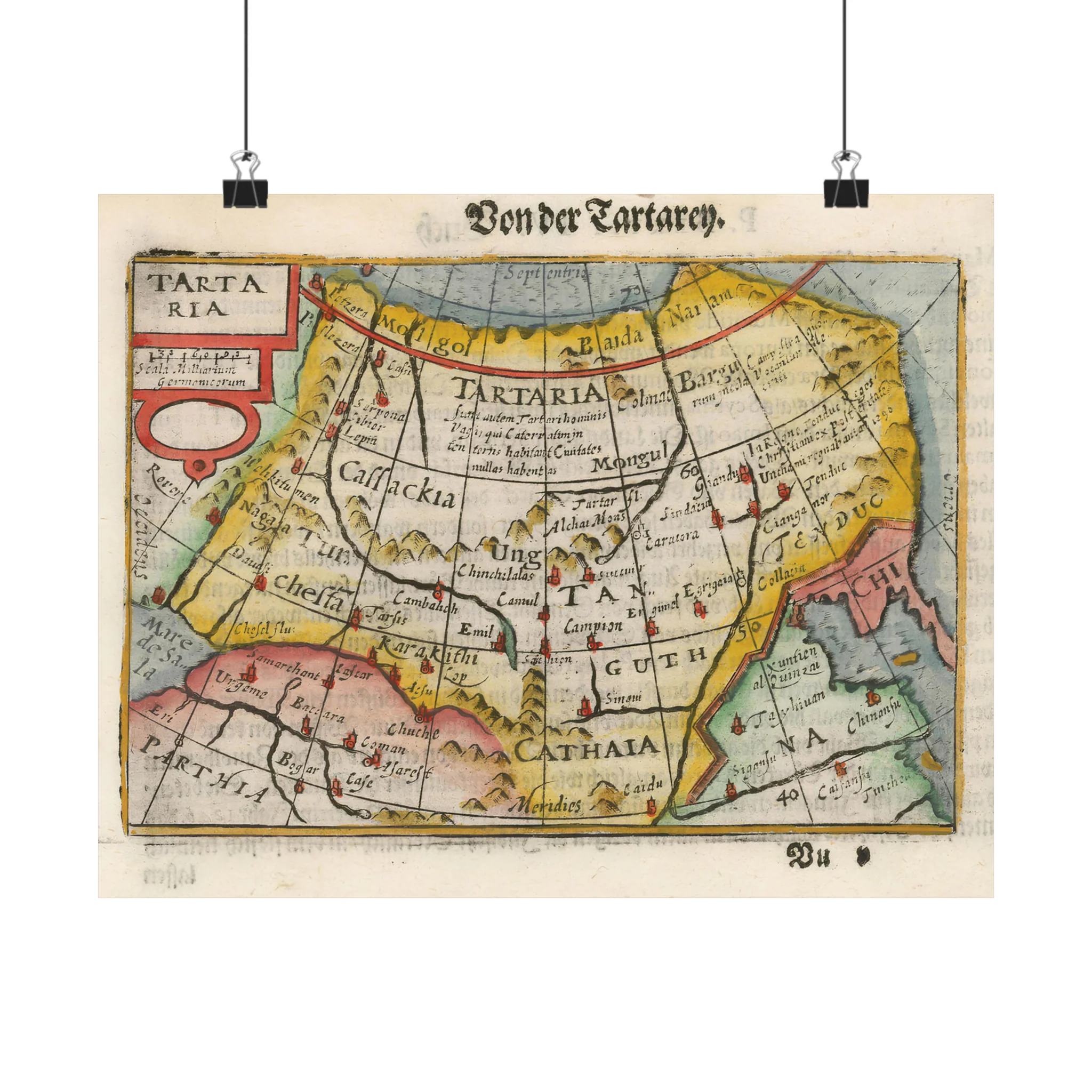
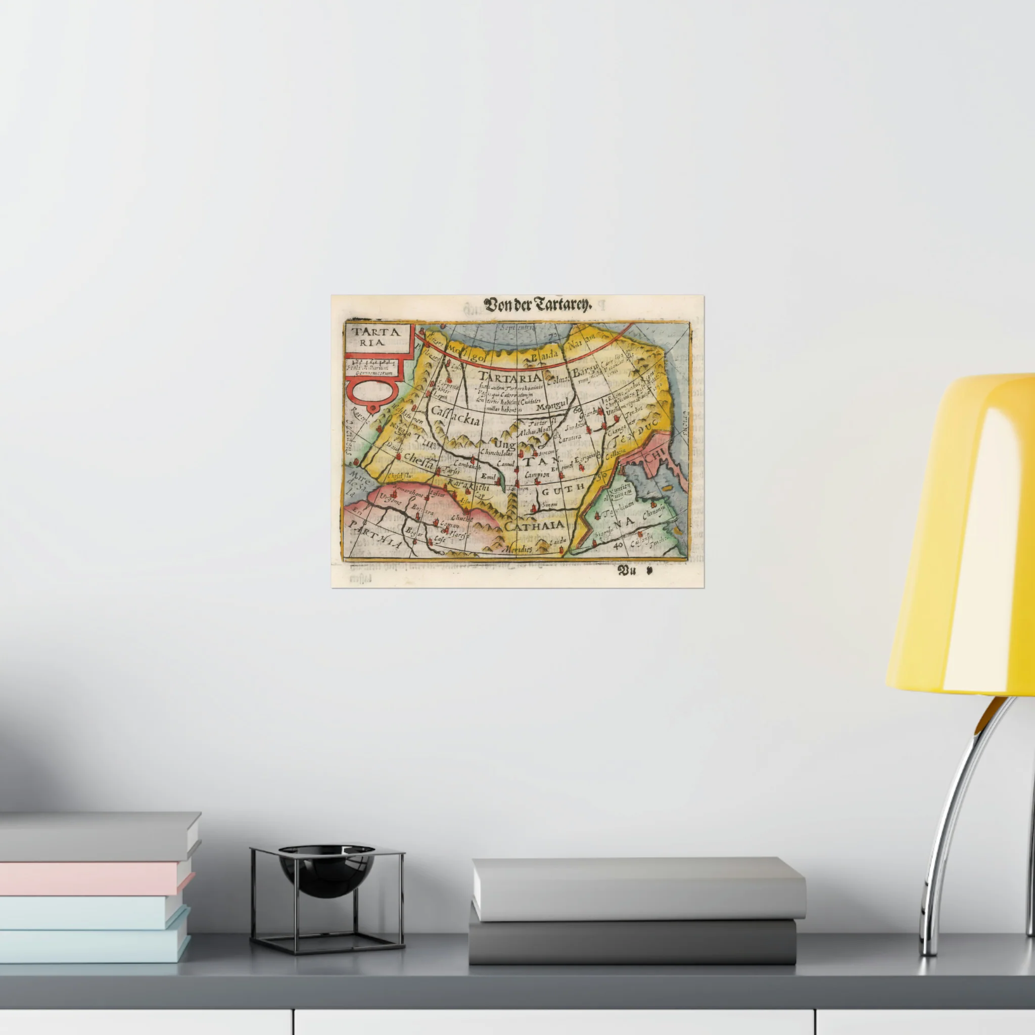
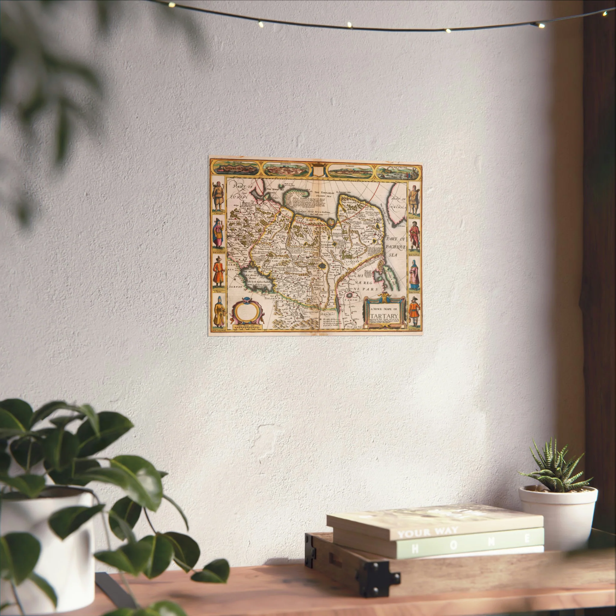
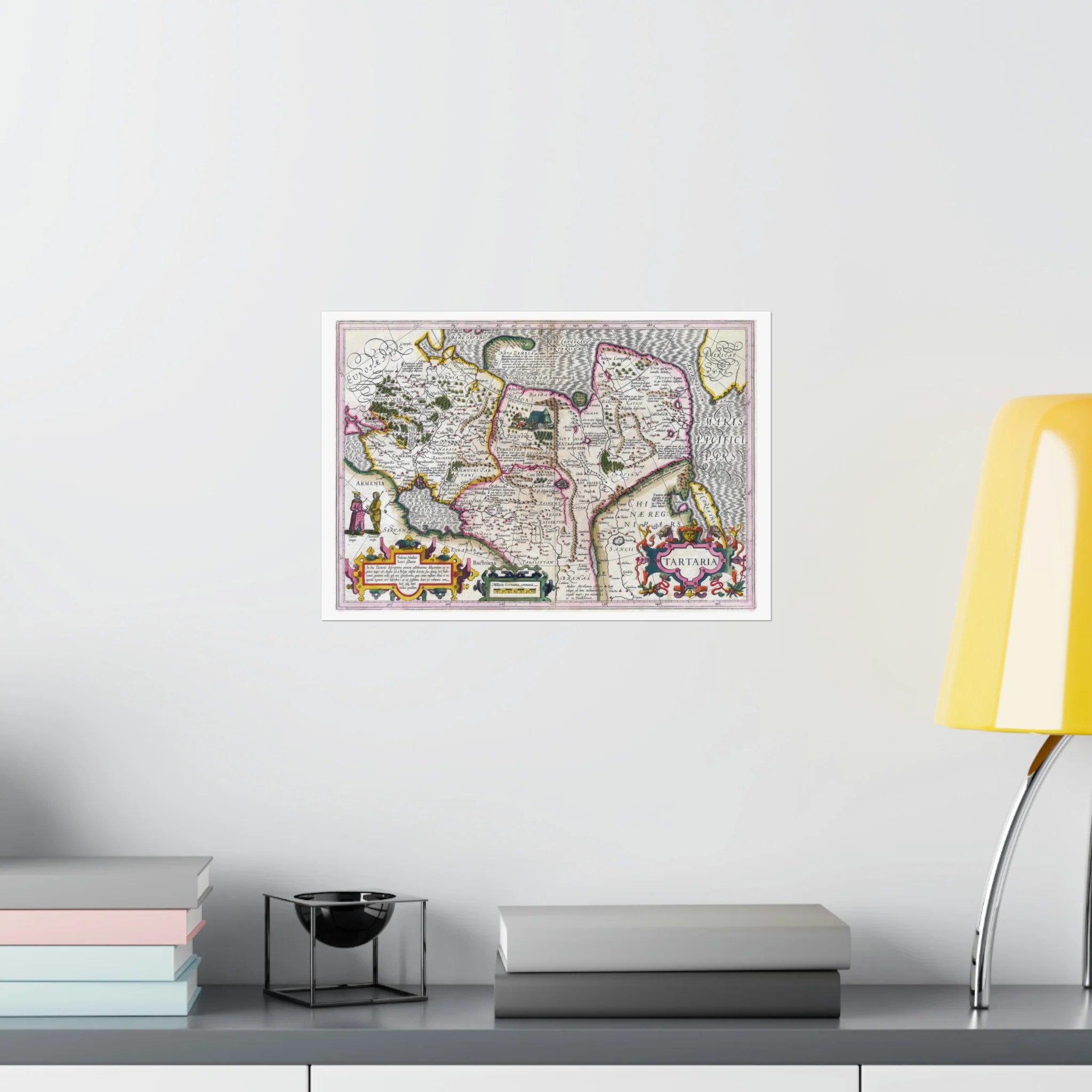
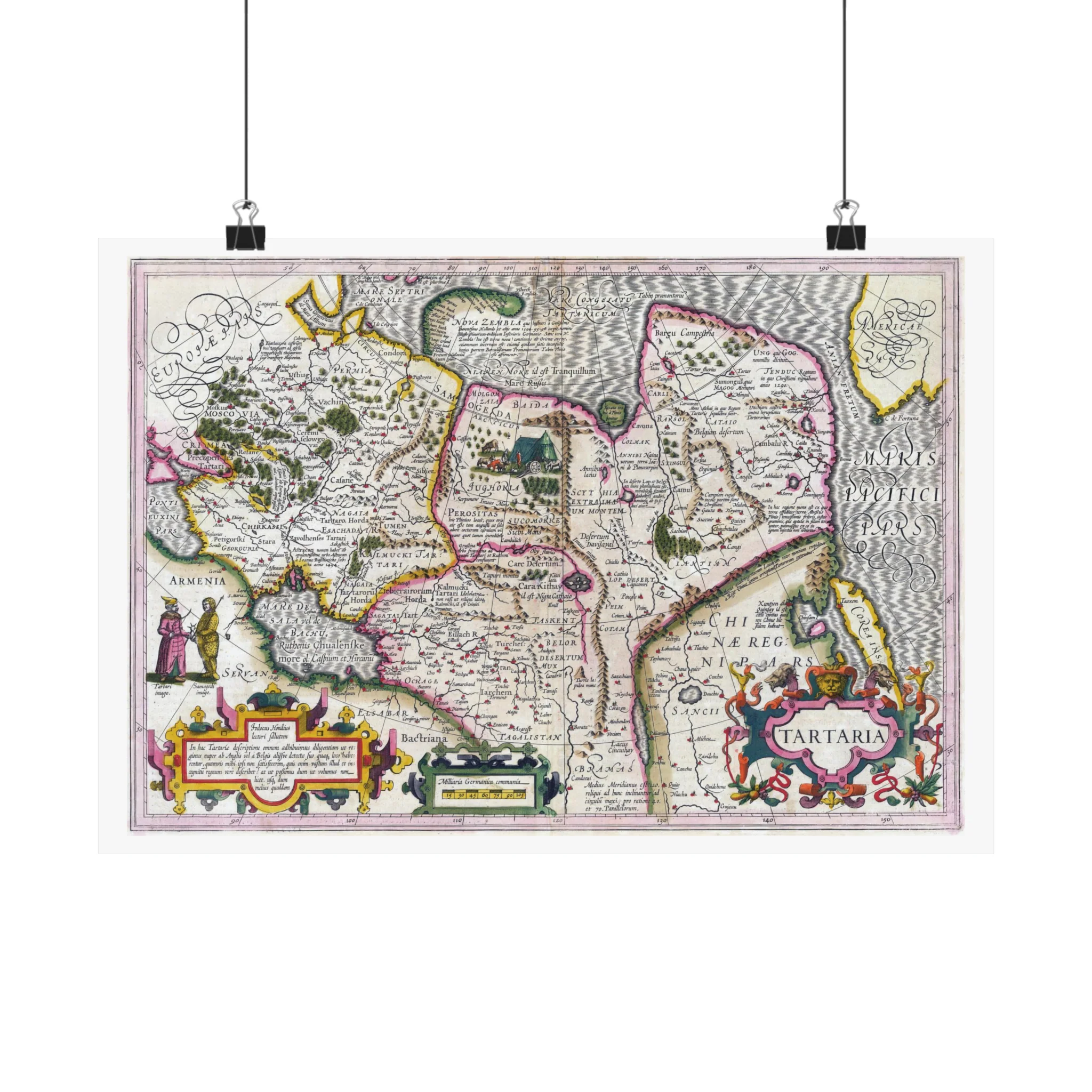
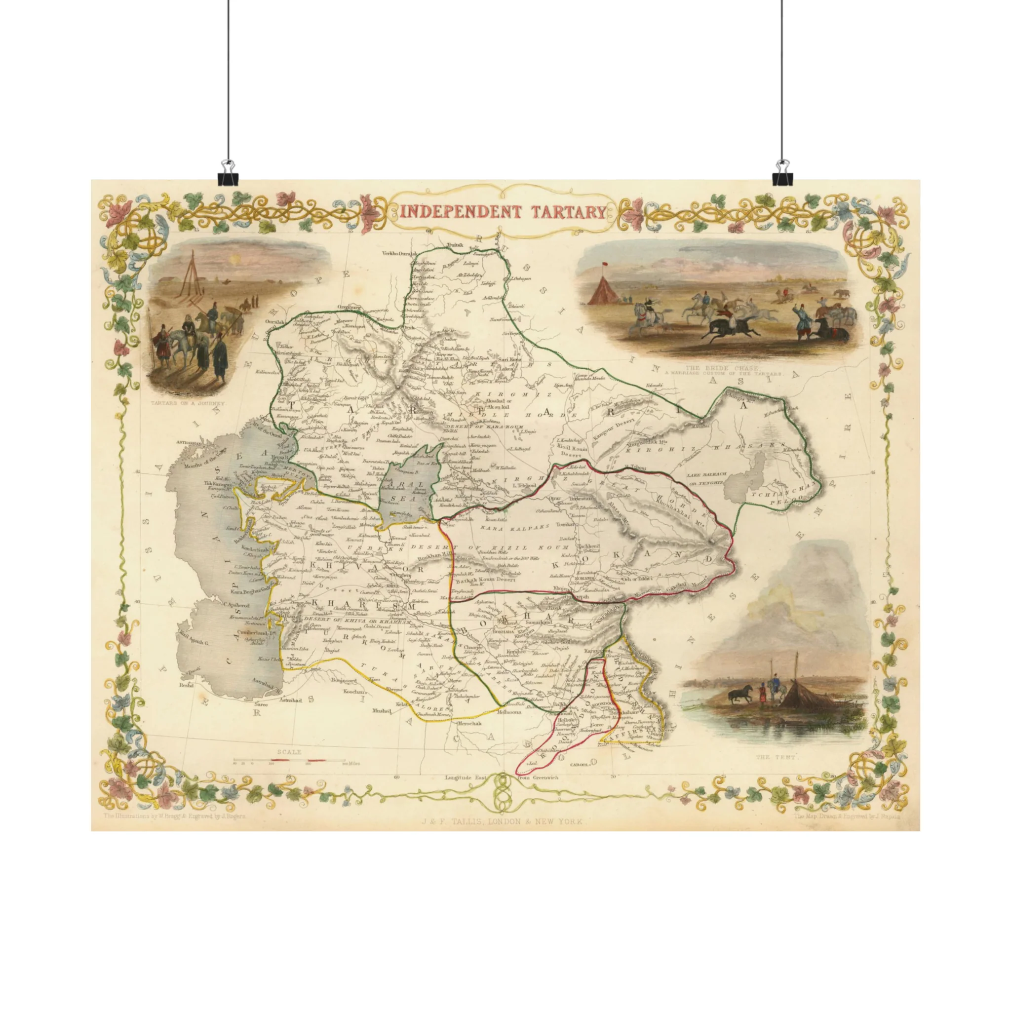
This map of Tartaria is from the special collection of the University of Amsterdam. This map was published by Frederik de Wit (1629–1706). He was a Dutch cartographer and artist. The map shows Oceanus Occidentalis (Atlantic Ocean) and Mare Tartaricum (Arctic Ocean).
This map of Tartaria is from the special collection of the University of Amsterdam. This map was published by Frederik de Wit (1629–1706). He was a Dutch cartographer and artist. The map shows Oceanus Occidentalis (Atlantic Ocean) and Mare Tartaricum (Arctic Ocean).
Original: $29.95
-70%$29.95
$8.98Description
This map of Tartaria is from the special collection of the University of Amsterdam. This map was published by Frederik de Wit (1629–1706). He was a Dutch cartographer and artist. The map shows Oceanus Occidentalis (Atlantic Ocean) and Mare Tartaricum (Arctic Ocean).