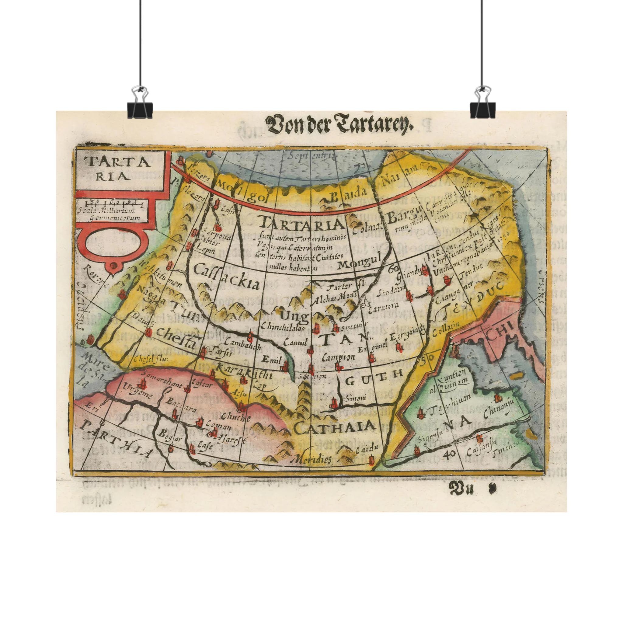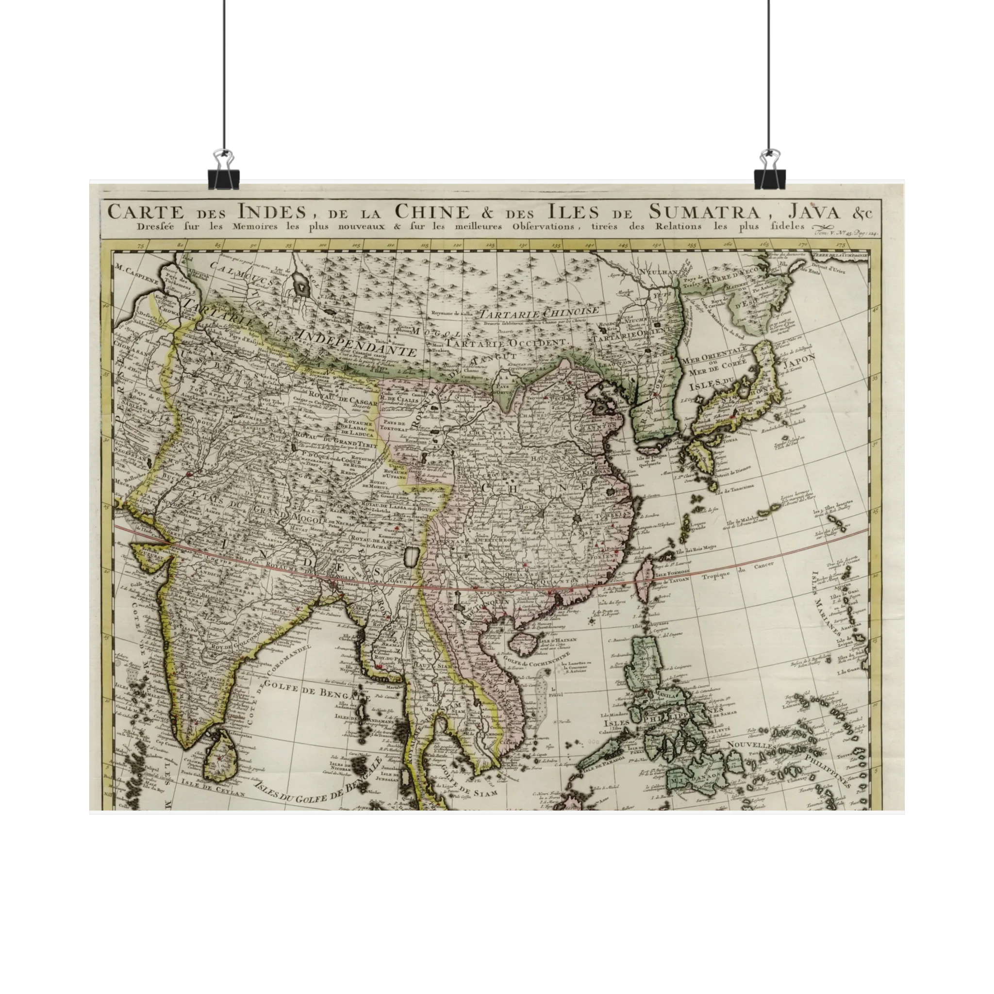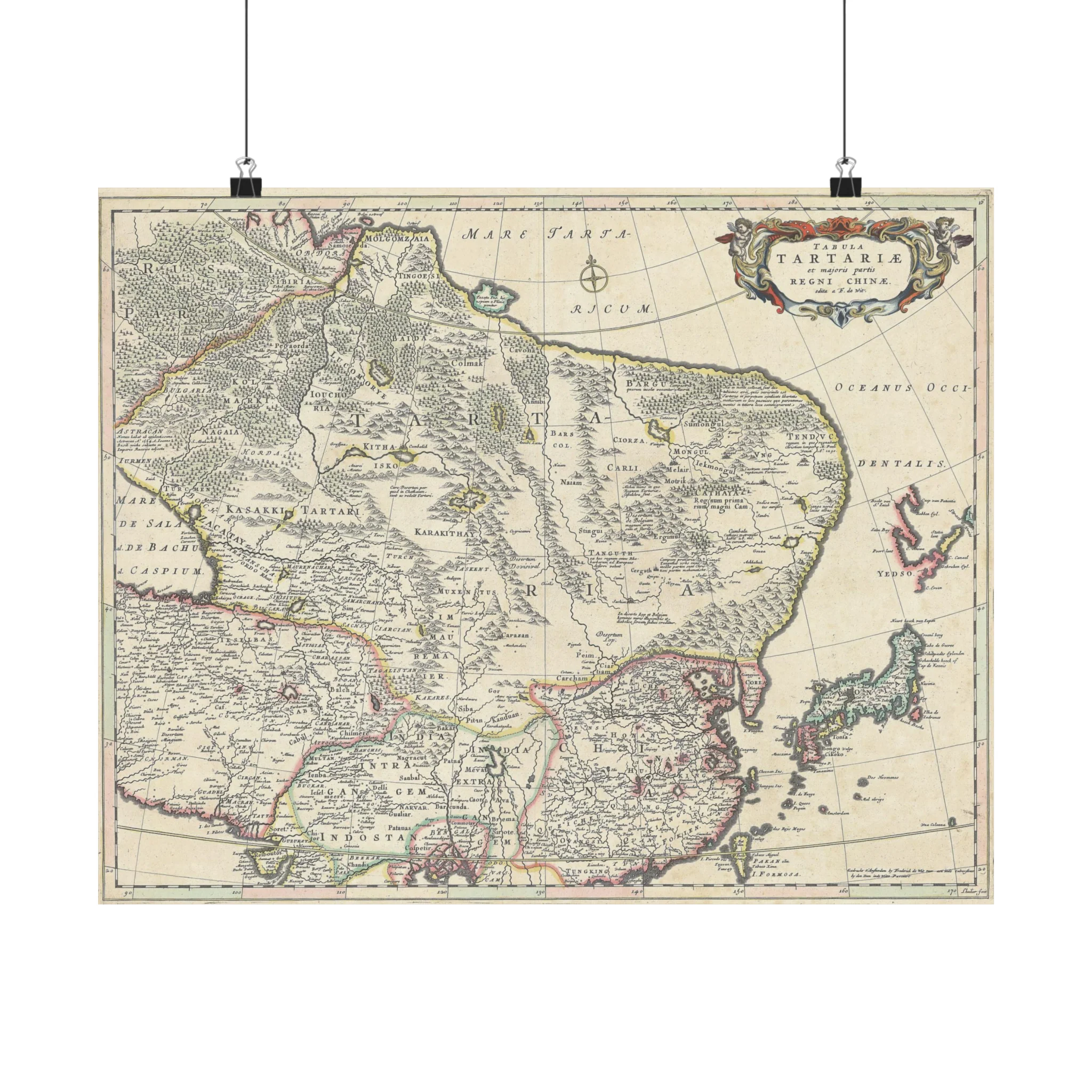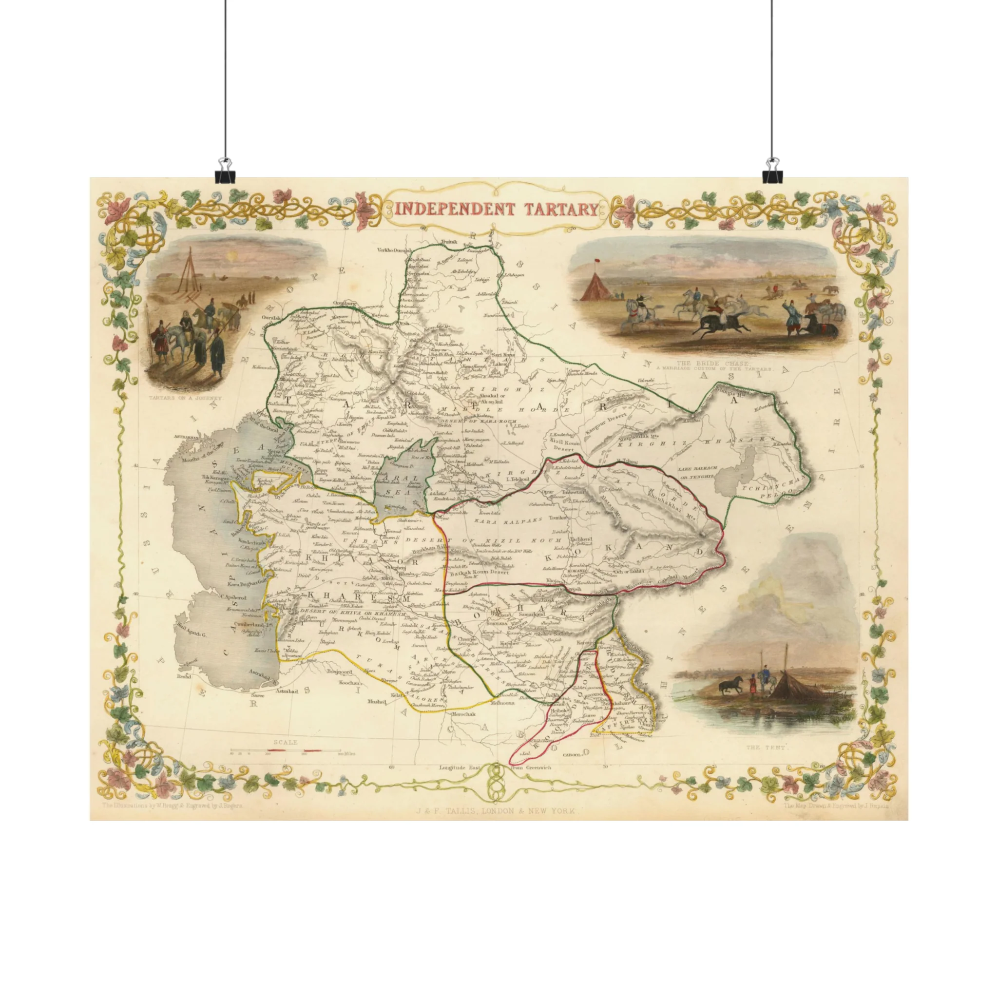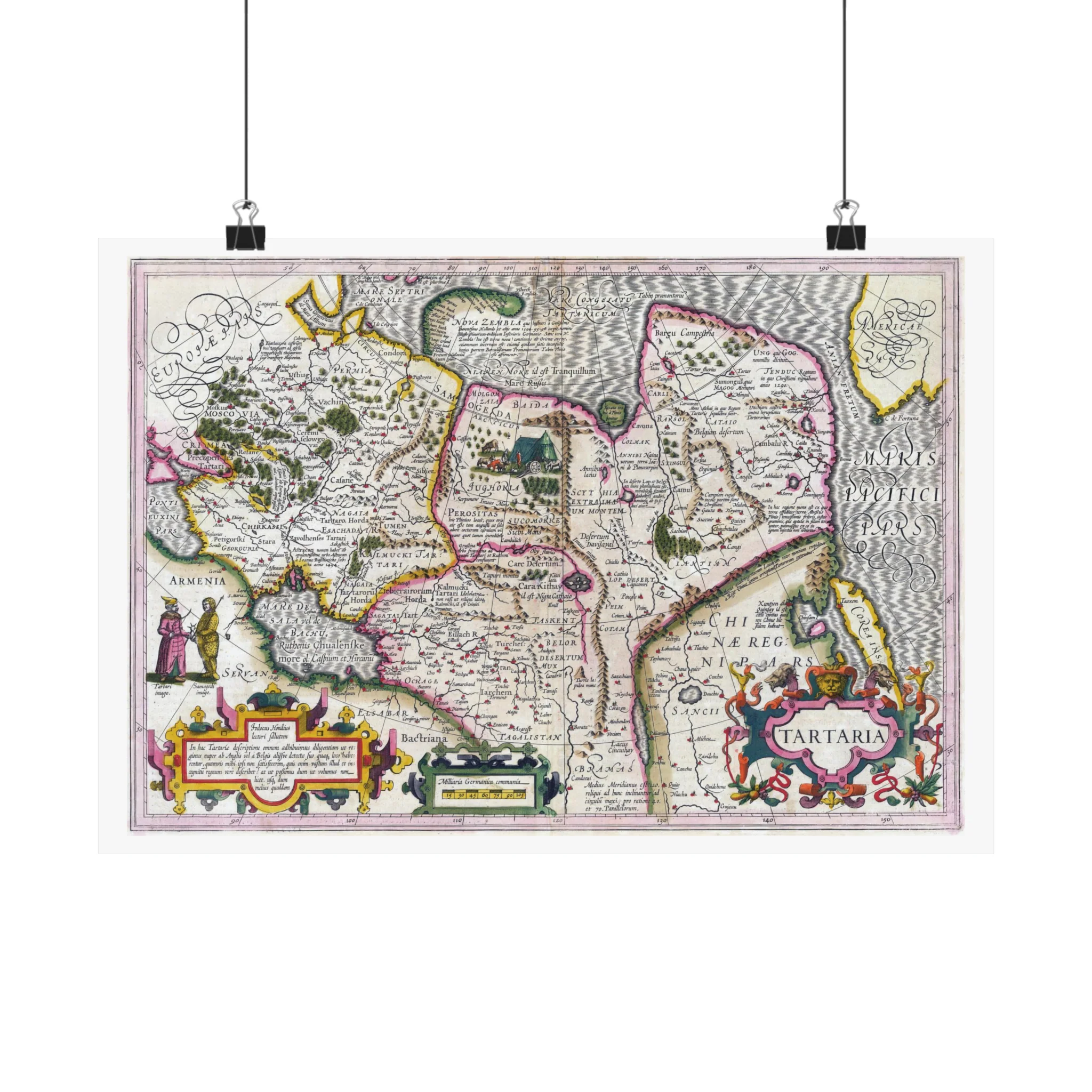
Tartaria by Jodocus Hondius, 1606
A Tartaria map created by the Flemish and Dutch engraver and cartographer Jodocus Hondius (1563–1612). The map is from circa 1606. It depicts places like Tartaria, Central Asia, Asiatic Russia, the Great Wall of China, and the early Northwest Coast of America.
The island of Corea, Cape de Fortuna, and the Straits of Anian are noteworthy landmarks. The map covers the Black Sea and Russia in addition to showcasing specifics about Nova Zembla. Livestock, tents, and scenes depicting nomadic tribes are examples of decorative components.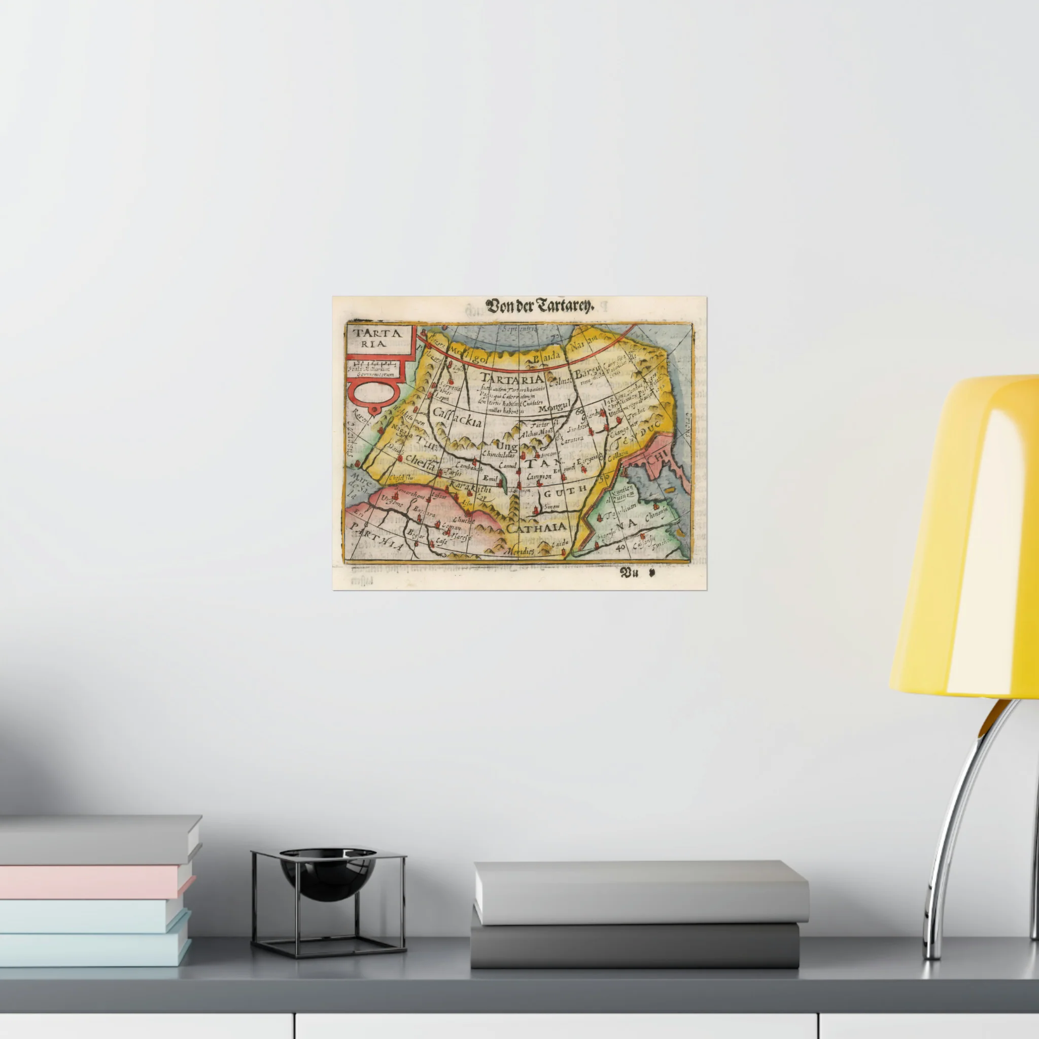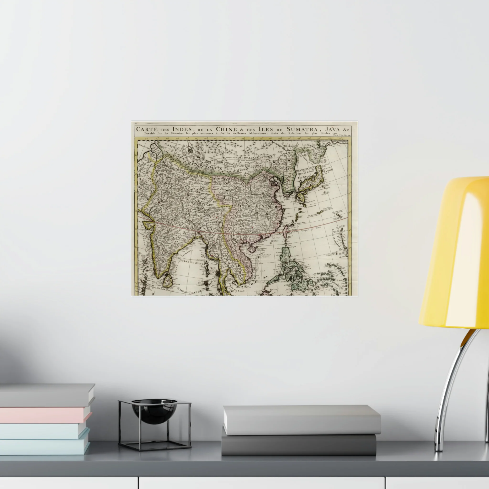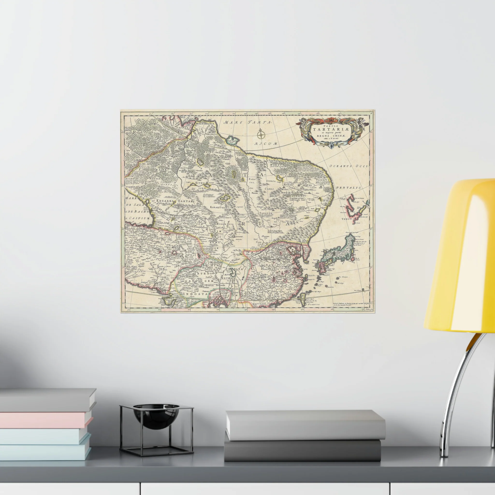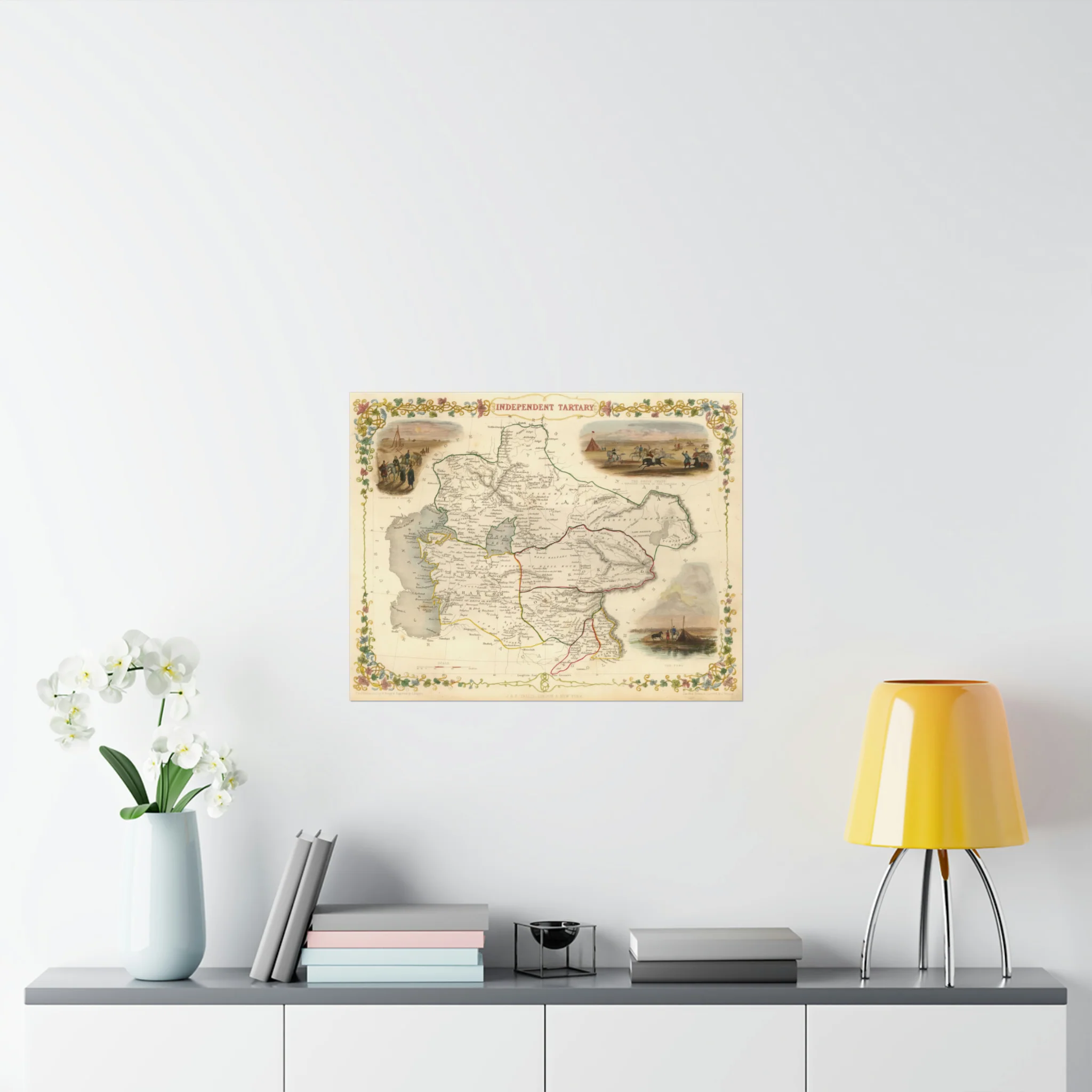
Original: $29.95
-70%$29.95
$8.98Description
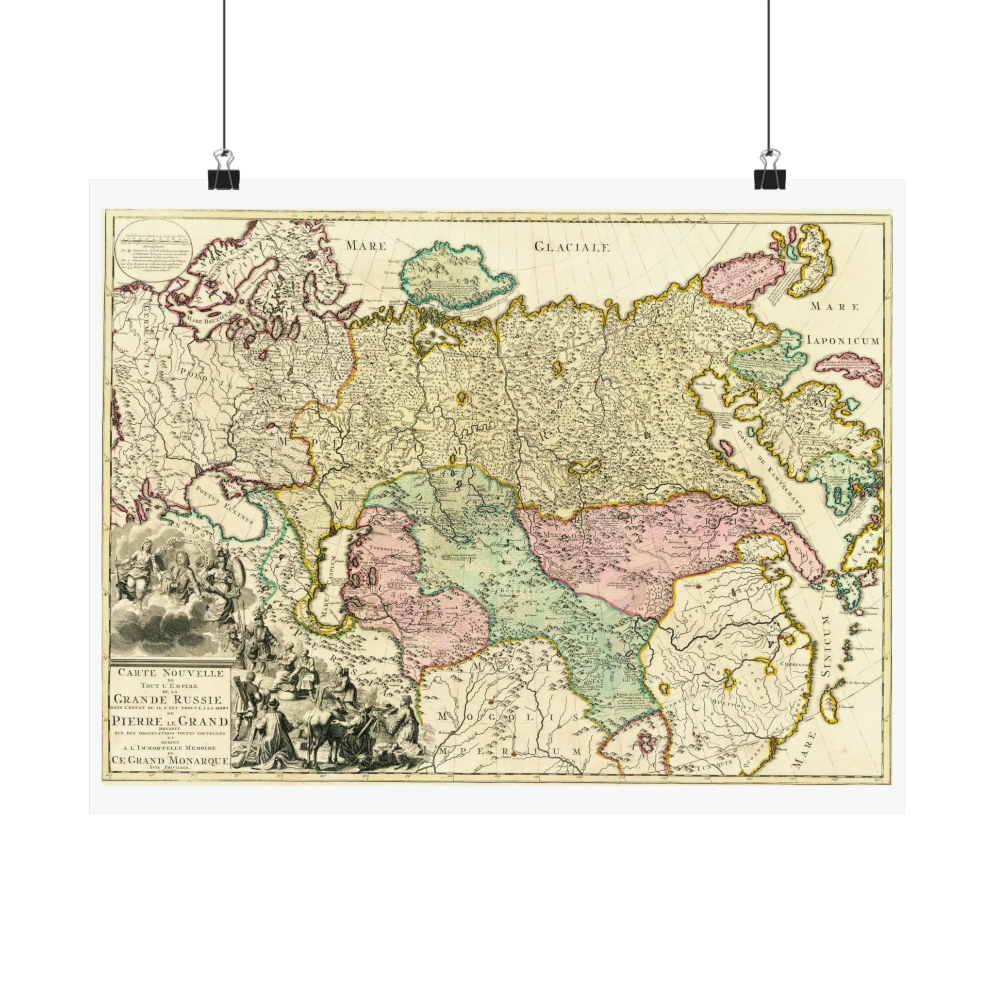
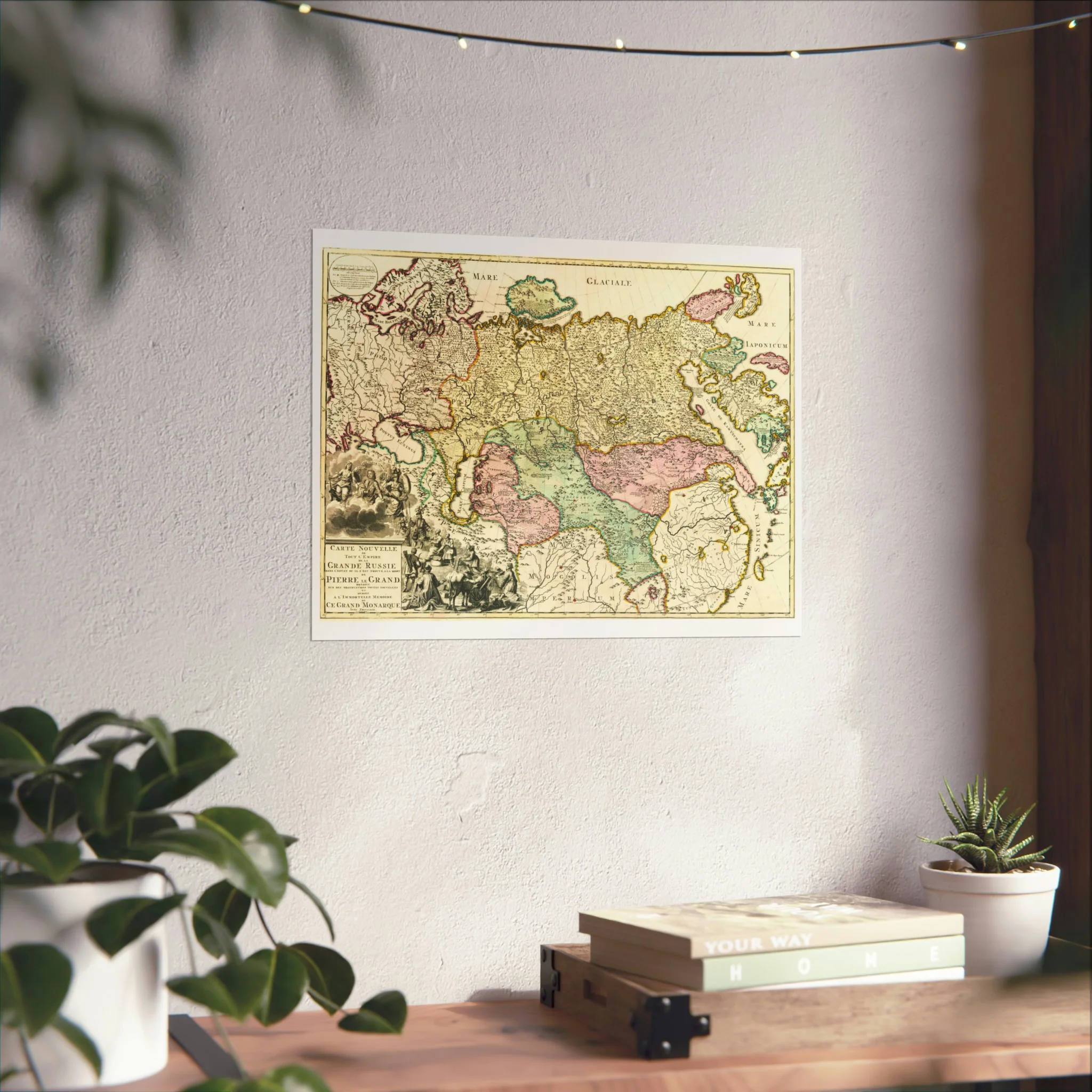
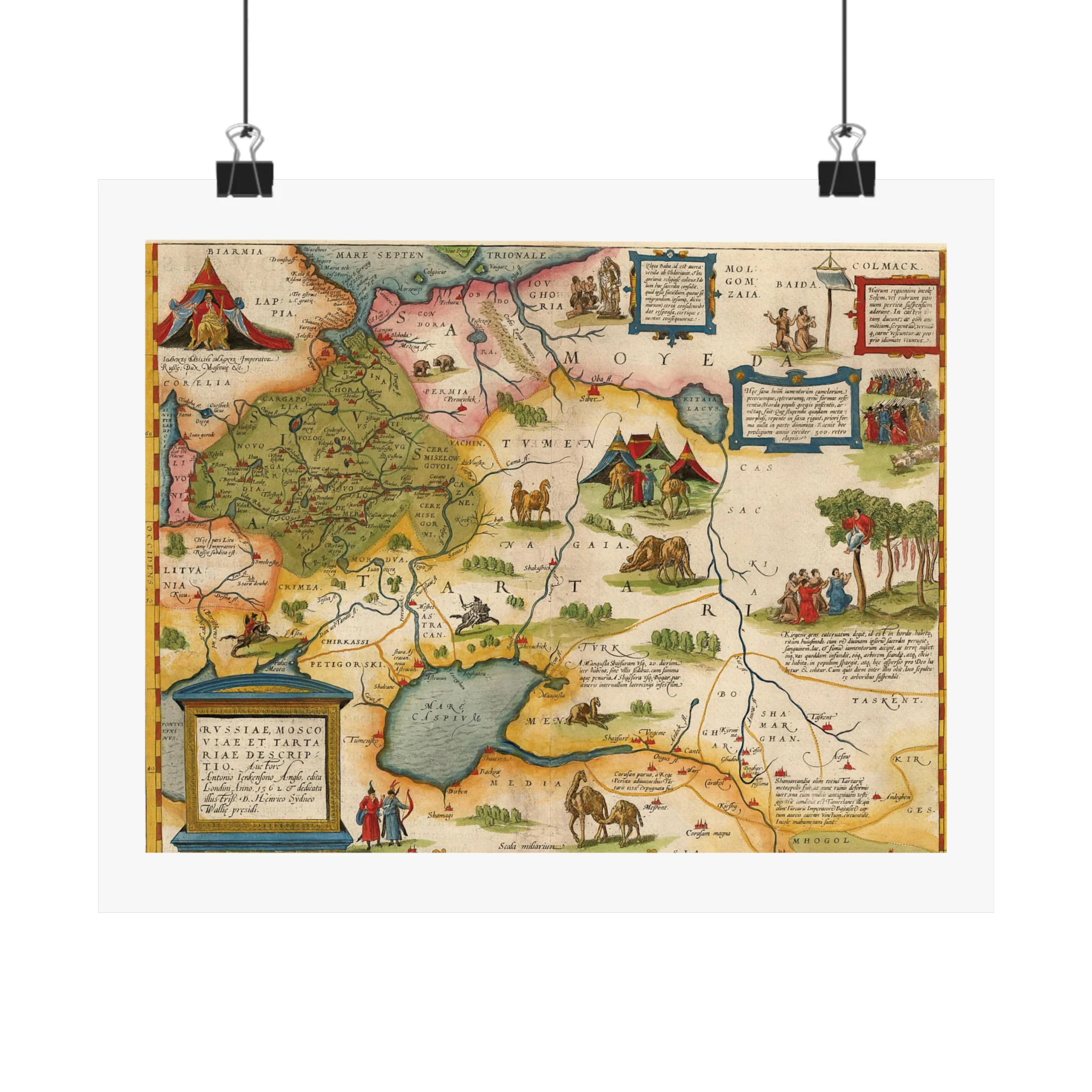
A Tartaria map created by the Flemish and Dutch engraver and cartographer Jodocus Hondius (1563–1612). The map is from circa 1606. It depicts places like Tartaria, Central Asia, Asiatic Russia, the Great Wall of China, and the early Northwest Coast of America.
The island of Corea, Cape de Fortuna, and the Straits of Anian are noteworthy landmarks. The map covers the Black Sea and Russia in addition to showcasing specifics about Nova Zembla. Livestock, tents, and scenes depicting nomadic tribes are examples of decorative components.